|
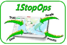
Introducing 1StopOps....
...Your New Disaster App Store! |

|
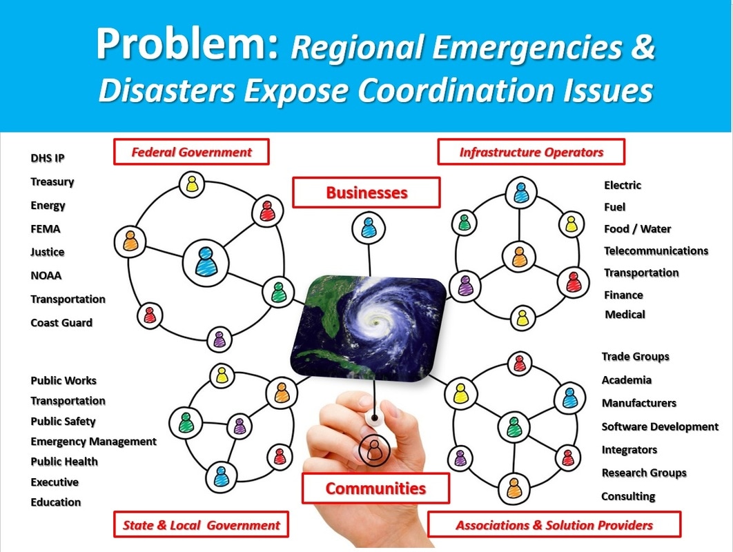
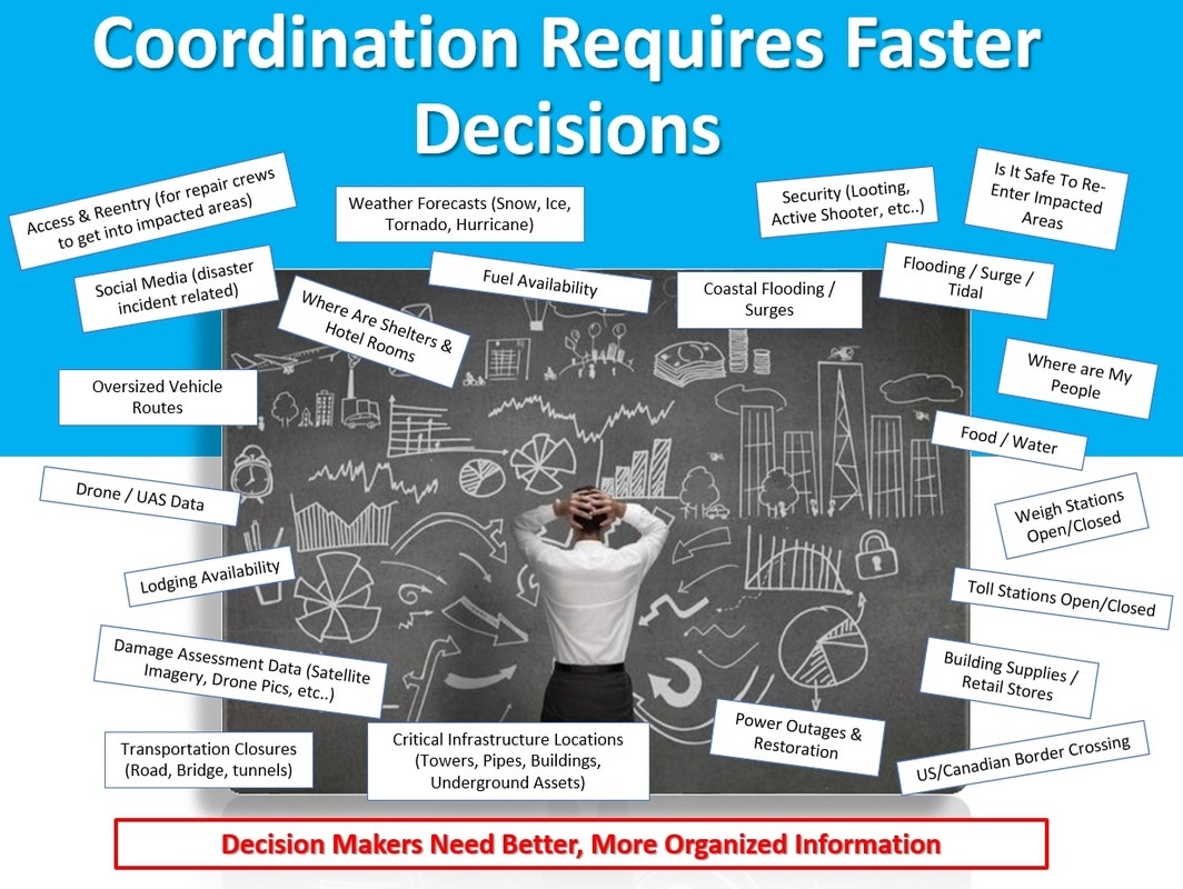
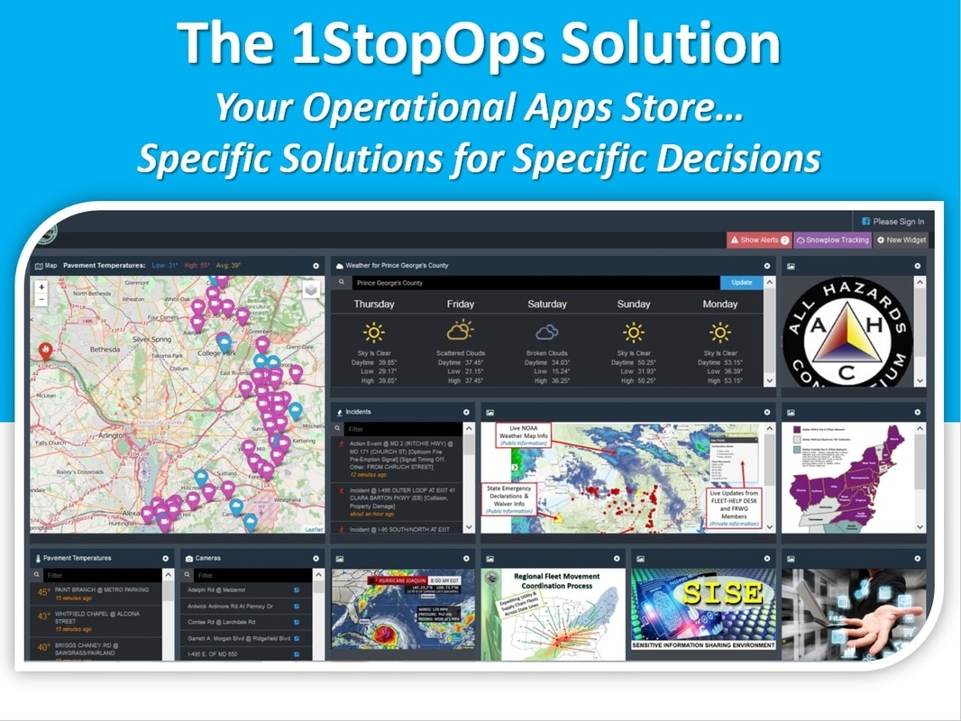


What problem does this address?
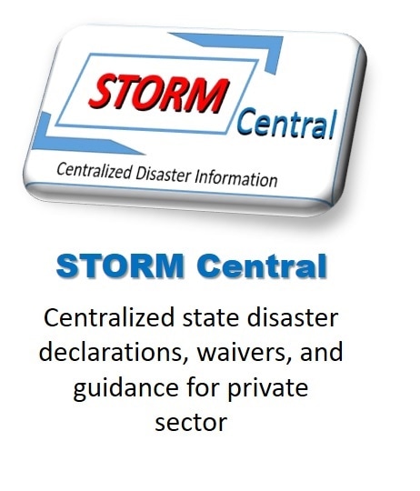
You need to find state declarations and waivers for my drivers and vehicles to avoid legal issues, provide proof of purpose of our support, and get them passage to the states requesting assistance
What does this solution provide?
|

What problem does this address?
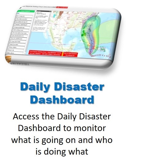
You want to monitor weather, transportation, state emergency declarations and situational awareness updates to coordinate with multiple states and your suppliers and customers.
What does this solution provide?
|

What problem does this address?
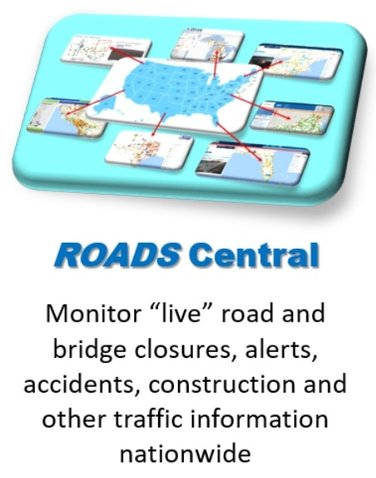
You need to monitor open or closed roads/bridges, road weather conditions, road construction, flooding, traffic alerts, etc.. anywhere in the U.S.
What does this solution provide?
|
|
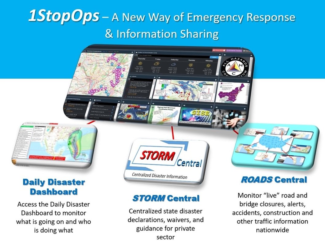
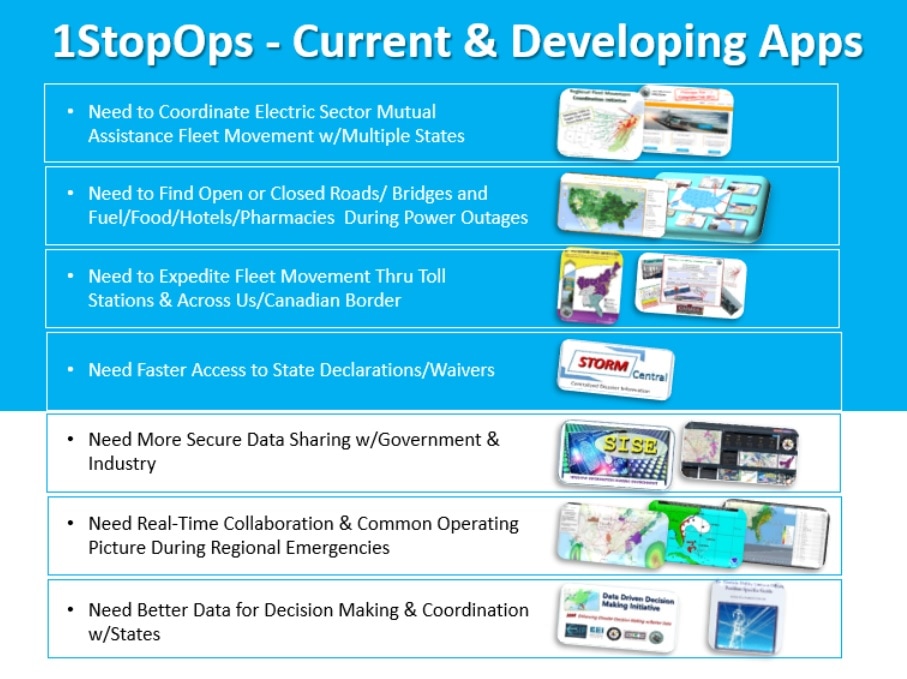
STORM Central Website - A website developed by private sector and states that centralizes the following information with participating states:
1) state emergency declarations and waivers for specific regional incidents 2) ongoing guidance and updates issued from government and industry from alerts, briefings, meetings and emails 3) state/local government "situation reports" held on daily basis |
GeoCollaborate Daily Disaster Dashboard - A web-based collaborative dashboard (developed by NOAA and Storm Center Communications) that merges private and public sector information from multiple sources into a single decision support tool.
The full version combines weather, flooding, routing, state declarations/waivers, operational information, and dozens of open source and private sourced data sets to provide you with a regional common operating picture for disaster response with participating states. |
ROADS Central App - A web application that aggregates "live" local, state and federal roadway transportation information nationwide and provides you with real time situational awareness on:
|