|
Your Issue
I need to find government emergency declarations and waivers for my drivers and vehicles to comply with regulations and legal issues, provide proof of purpose of our support, and get them passage to the states requesting assistance
Solution
|
Your Issue
I want to monitor situational awareness updates from the Fleet Response Working Group to coordinate with multiple states and my supply chain sectors (electric, fuel, food, telecom, etc..)
Solution
|
Your Issue
I need to locate open hotels, fueling stations, pharmacies, fast food and convenience stores, etc...in areas where the power is out.
Solution
|
|
STORM Central Website - developed by private sector and states that centralizes all state and federal emergency declarations and waivers for regional incidents.
Also provides government and industry updates from briefings, meetings and emails issued from impacted states/companies, along with guidance from FEMA Regions and state/local situation reports held on daily basis during the events in the Eastern U.S. Current information includes: State/Local Government:
Federal Government:
|
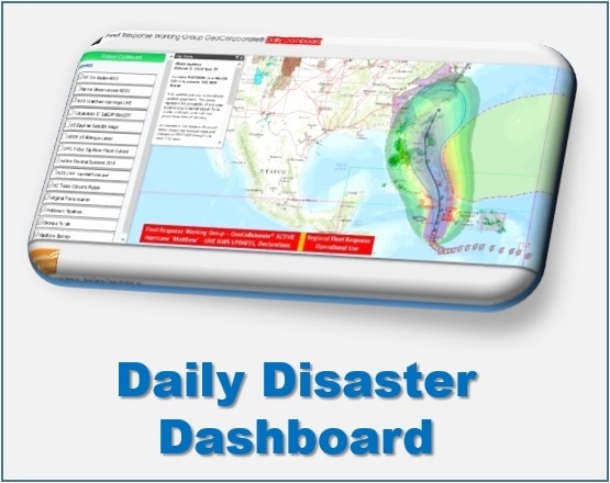
GeoCollaborate Daily Disaster Dashboard - A web-based collaborative dashboard (developed by NOAA and Storm Center Communications) that merges private and public sector information from multiple sources into a single decision support tool.
The full version combines weather, flooding, routing, state declarations/waivers, operational information, and dozens of open source and private sourced data sets into a common operating picture for disaster response. GeoCollaborate is a new collaborative self-serve dashboard app that merges government and industry open source and private information into a single location that you can customize to your needs. GeoCollaborate provides you with an enhanced regional common operating picture and situational awareness during large regional incidents/disasters GeoCollaborate leverages a $5 million technology developed by NOAA and allows visual collaboration of data layers, works with any tool & data formats. GeoCollaborate integrates geo & non-geo encoded data (pics, PDFs, notes, etc..) Pulls from a growing pool of reliable trusted data sources and partners, federal agencies, earth science research groups and industry Growing community of 3rd party app developers produce ongoing stream of new apps and solutions. |
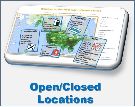
Fleet Open/Closed Service - A web application that help you know the open or closed status and locate/route you to over 250,000+ locations where you can get fuel, food, water, coffee, supplies, medications, medical supplies, building materials and much more… in disaster areas and where power is out.
Current locations include: Fuel: BP, Chevron, Exxon Mobile, Conoco-Phillips, Halliburton Food: Burger King, Denny's, McDonalds, Sonic, KFC, Taco Bell, Pizza Hut Lodging: Best Western; Choice Hotels, Wyndham Retail: Best Buy, Jiffy Lube, Lowe's, Carters, Foot locker, JC Pennys, Sears/Kmart, Carter Lumber and more... Pharmacy: CVS, Rite Aid, Walgreens Planned enhancements will include hundreds of additional locations across the U.S. |


